
Hydrological and meteorological modelling
Catchment area analysis, run-off estimation and maximum probable flood (MPF) calculation.
Water & Environment
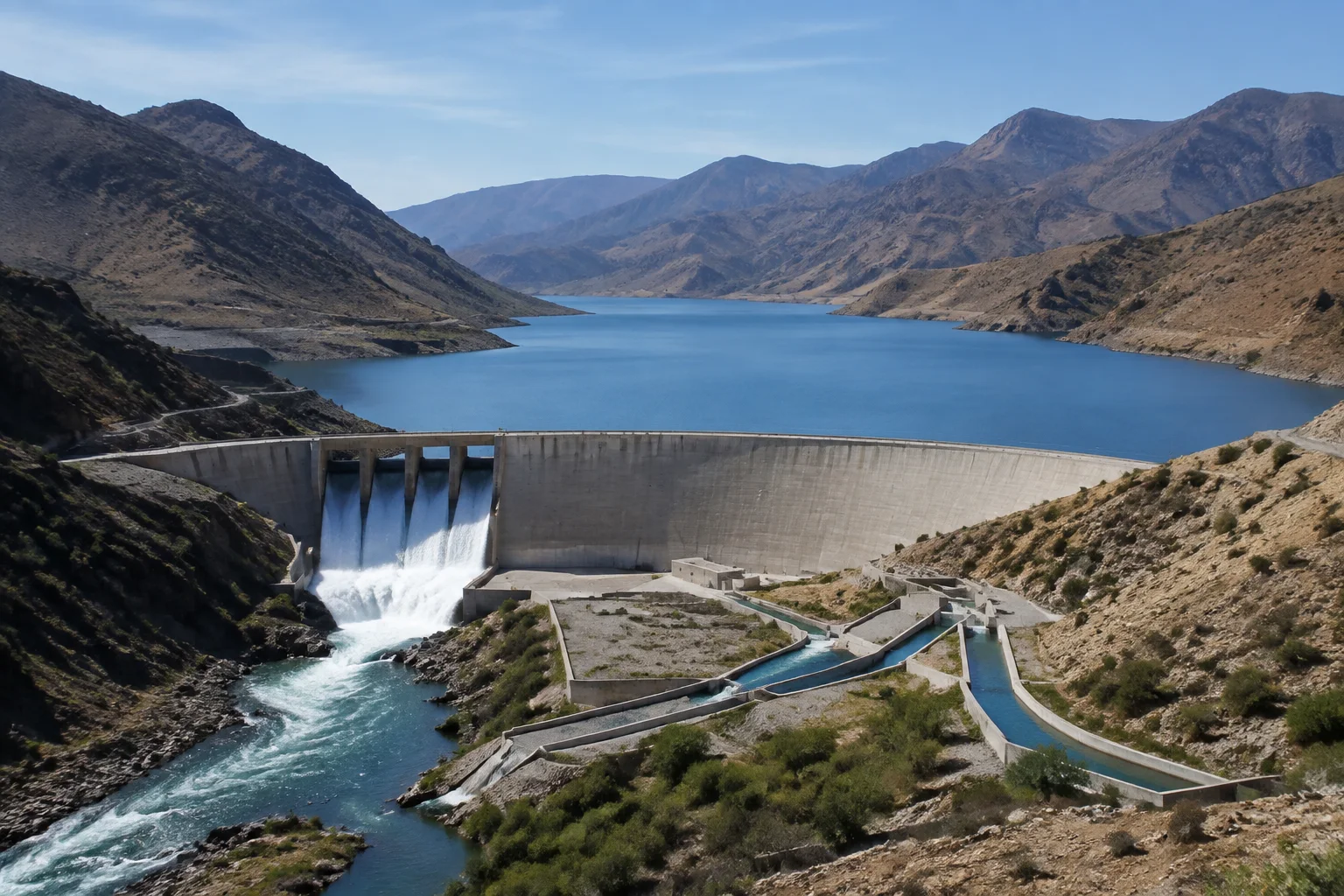
DMC delivers the full lifecycle of irrigation dam infrastructure: hydrological and meteorological modelling including catchment analysis and maximum probable flood calculation, geotechnical and seismic investigation, earthfill, rockfill, gravity and composite dam design, spillway and outlet hydraulics, irrigation command network design, and construction supervision covering grouting, materials testing, instrumentation and controlled reservoir filling.
DMC is an engineering consultancy specialising in the full lifecycle of irrigation dam infrastructure — the point where water resource management meets agricultural productivity.
Our services span rigorous feasibility studies, advanced structural and hydraulic design, and uncompromising construction supervision. We engineer containment systems that optimise water distribution, manage environmental risk, and withstand extreme climate events — securing water supply for the decades a dam is expected to serve, not just the years covered by the contract.
Catchment area analysis, run-off estimation and maximum probable flood (MPF) calculation.
Core drilling programmes, soil mechanics evaluation and seismic vulnerability mapping to establish foundation integrity beyond doubt.
Environmental footprint evaluation, waterlogging and salinity risk, and downstream command area optimisation.
Structural design of earthfill, rockfill, gravity and composite dams, optimised for local terrain and locally available materials.
Hydraulic sizing of energy dissipators, intake towers, plunge pools and emergency spillways capable of handling severe overtopping scenarios.
Main canals, distribution networks and cross-drainage structures engineered to deliver water where and when crops need it.
Oversight of rock abutment clearing, curtain grouting and foundation sealing to eliminate underground seepage paths.
Continuous laboratory validation of soil compaction densities, concrete compressive strengths and rockfill grading.
Structural alignment tracking, instrumentation installation (piezometers, inclinometers) and controlled initial reservoir filling protocols.
Also in Water & Environment
Common questions
Earthfill, rockfill, gravity and composite dams, with the structural form chosen for the local terrain and the construction materials actually available near the site.
Catchment area analysis, run-off estimation and maximum probable flood calculation; core drilling, soil mechanics evaluation and seismic vulnerability mapping to establish foundation integrity; and socio-environmental impact mapping including waterlogging risk and downstream command area optimisation.
Yes, including foundation and abutment clearing, curtain grouting and foundation sealing, continuous laboratory validation of compaction densities and concrete strengths, instrumentation installation such as piezometers and inclinometers, and controlled initial reservoir filling.